0
0

Your cart is currently empty.

Shop Details

HomeTravel & GeographyIndia Political & Physical Map 2 in 1 Big Chart Educational Chart For Kids front back – Wall Hanging Map Chart For Perfect for Aspirant UPSC and other … exams – Paper Print (30 inch X 20 inch)

India Political & Physical Map 2 in 1 Big Chart Educational Chart For Kids front back – Wall Hanging Map Chart For Perfect for Aspirant UPSC and other … exams – Paper Print (30 inch X 20 inch)

By:

170.00

Availability:

In Stock

Information:

Category:

Tag:

Author: Bookford

Brand: BOOKFORD

Color: Multicolor

Features:

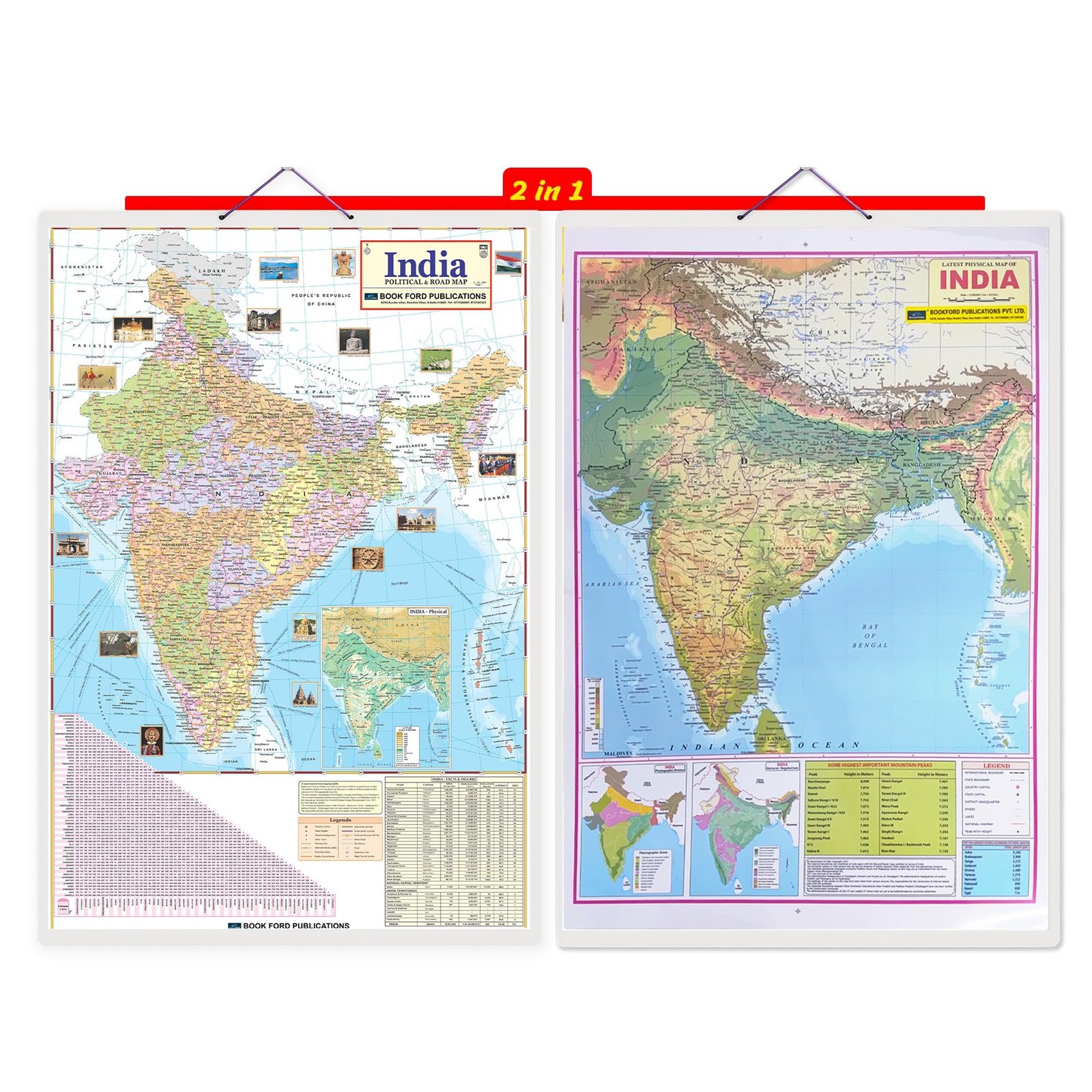
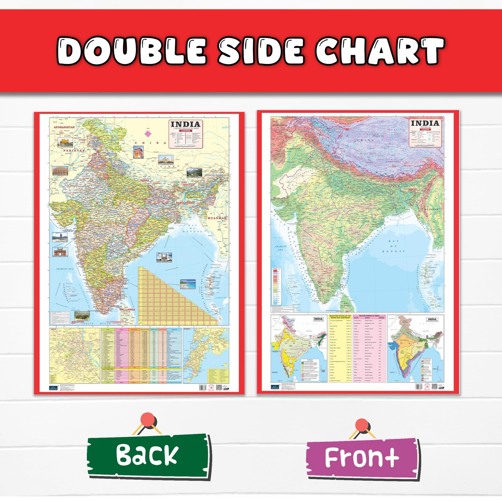
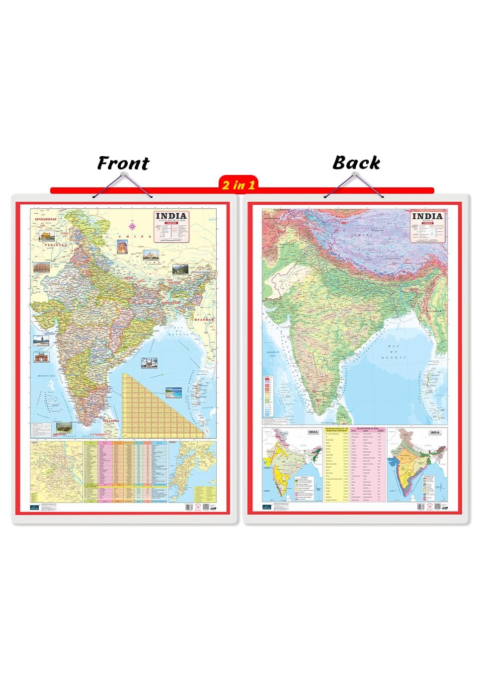
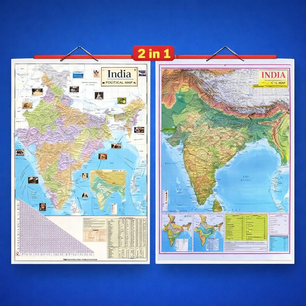
  • 2-in-1 Educational Map Chart: This big chart includes two important maps of India in one product — a Political Map showing states, union territories, and capitals, and a Physical Map highlighting mountains, rivers, plateaus, deserts, and coastal regions. This dual design helps children clearly understand both administrative and natural geography of India.
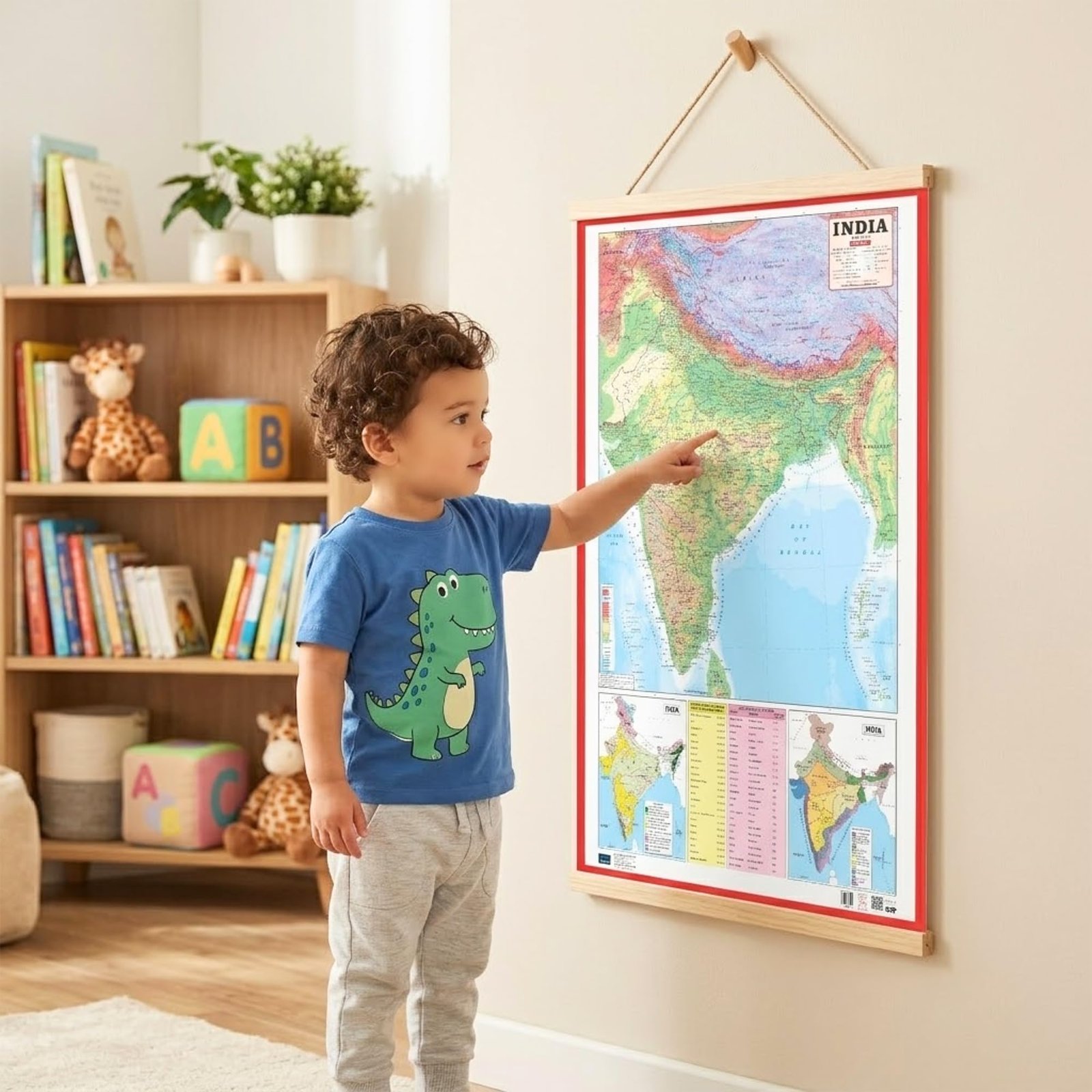
  • Large Size for Easy ViewingThe big chart format ensures that all names, boundaries, and symbols are clearly visible from a distance. Ideal for wall mounting in classrooms, study rooms, or learning corners, making it easier for kids to read and remember information.
  • Kid-Friendly & Colorful Design: Designed especially for children, the chart uses bright colors, clear fonts, and simple labeling to make learning enjoyable and stress-free. The attractive visuals help improve memory retention and keep children engaged.
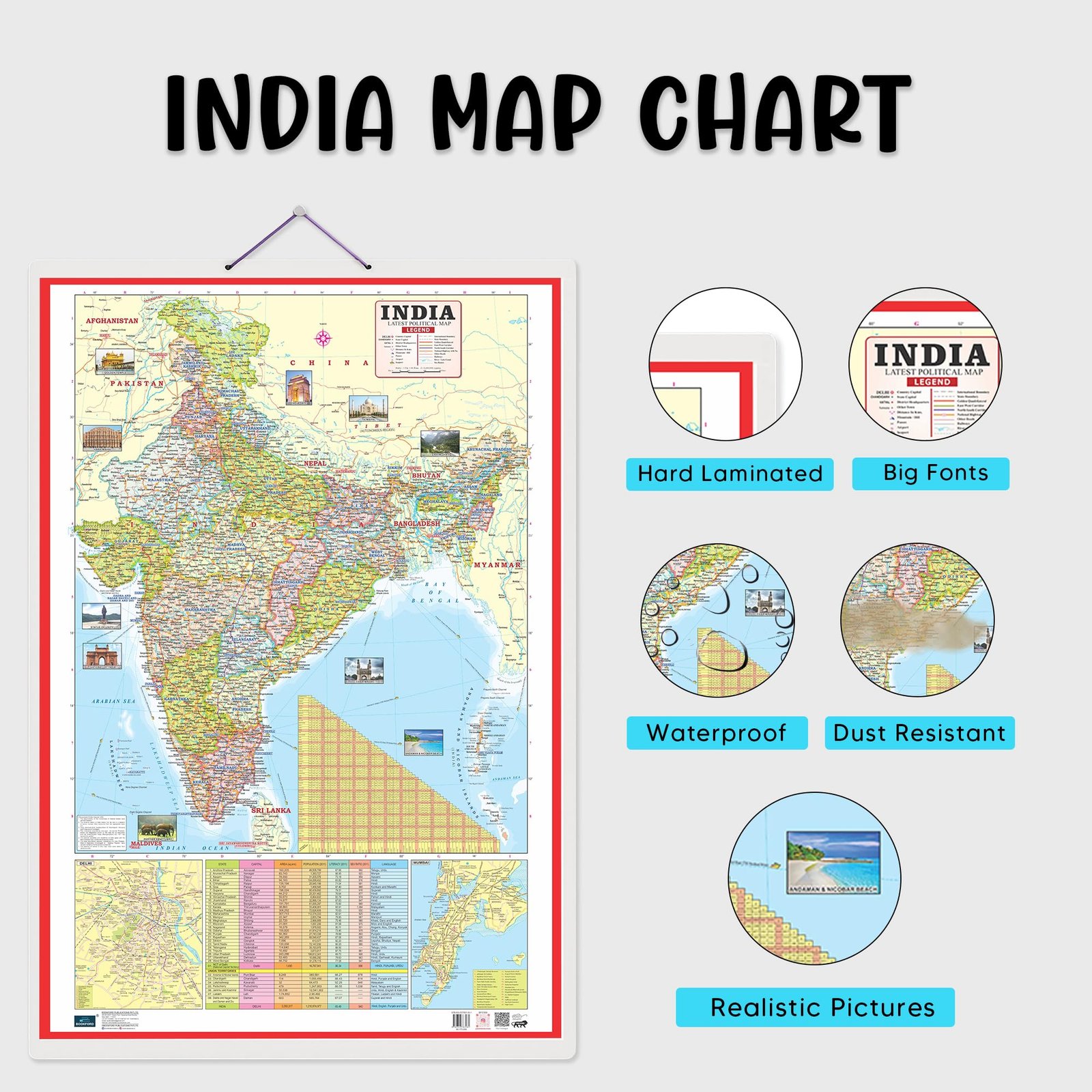
  • High-Quality Printing & Durable Material: Printed on thick, high-quality paper with a smooth finish, the chart is durable and resistant to everyday wear, ensuring long-term use in homes and classrooms.
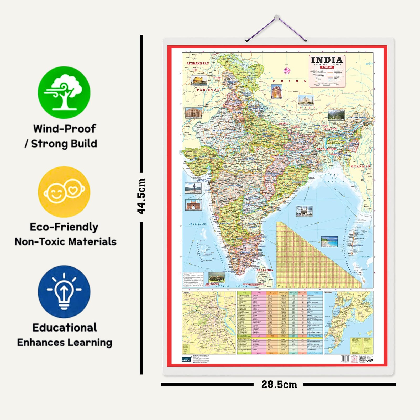
  • Sizes:- 20×30

Format: bookmark_calendar

Package Dimensions: 79x564x340

Number Of Pages: 1

Release Date: 02-01-2026

Details: Make learning geography fun and engaging with this 2-in-1 Big Chart of India, featuring both Political and Physical Maps in one easy-to-read chart. Designed especially for kids and students, this colorful educational chart helps children understand states, capitals, rivers, mountains, deserts, and boundaries of India at a glance.