₹110.00 ₹549.00
Availability:
In StockColor: Multi colour
Features:
Format: special_edition
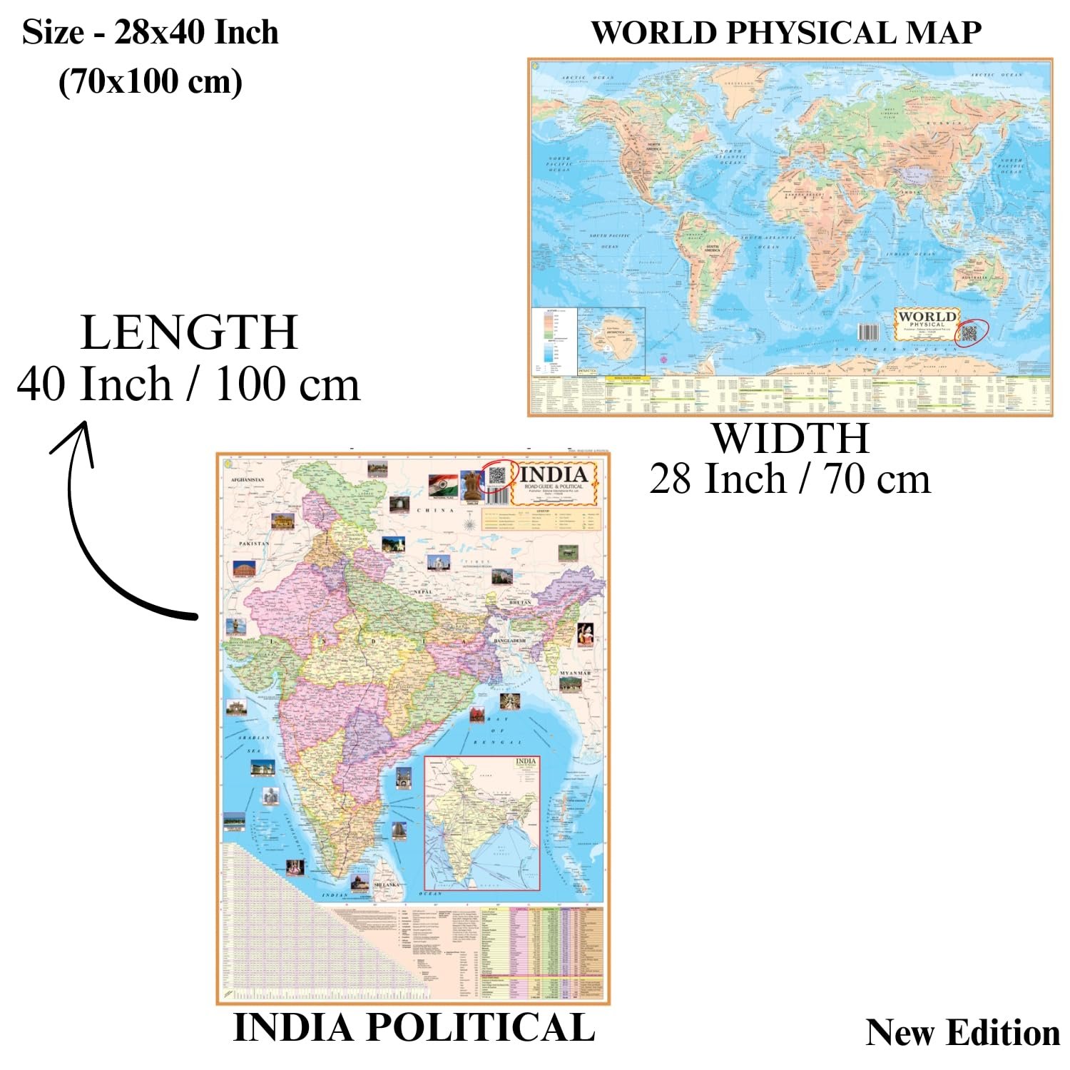
Package Dimensions: 20x220x0
Release Date: 08-11-2024
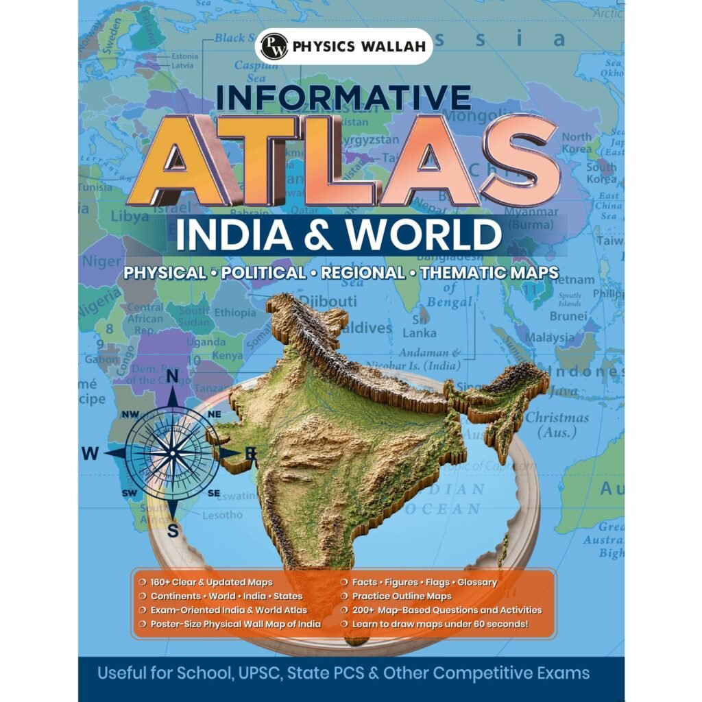
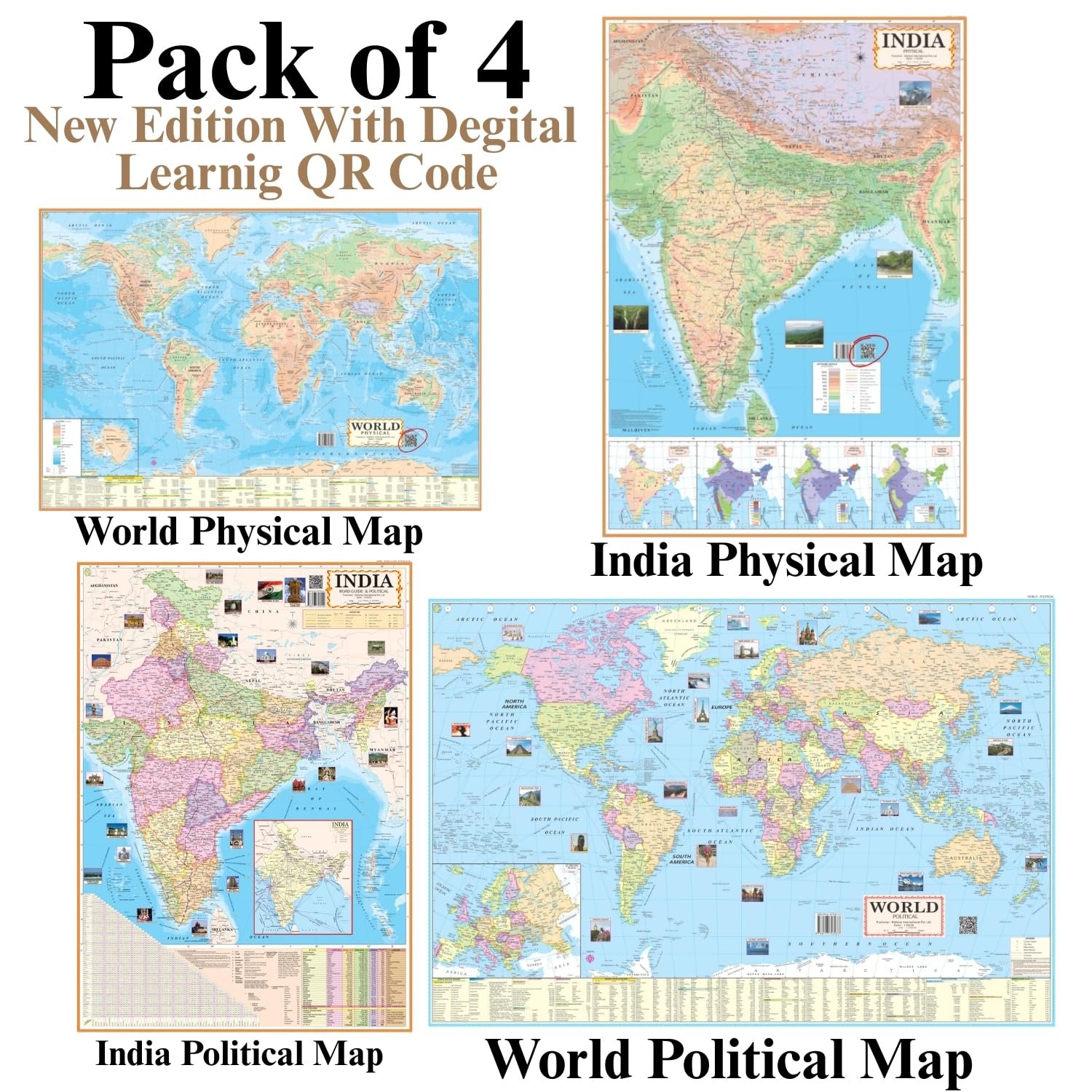
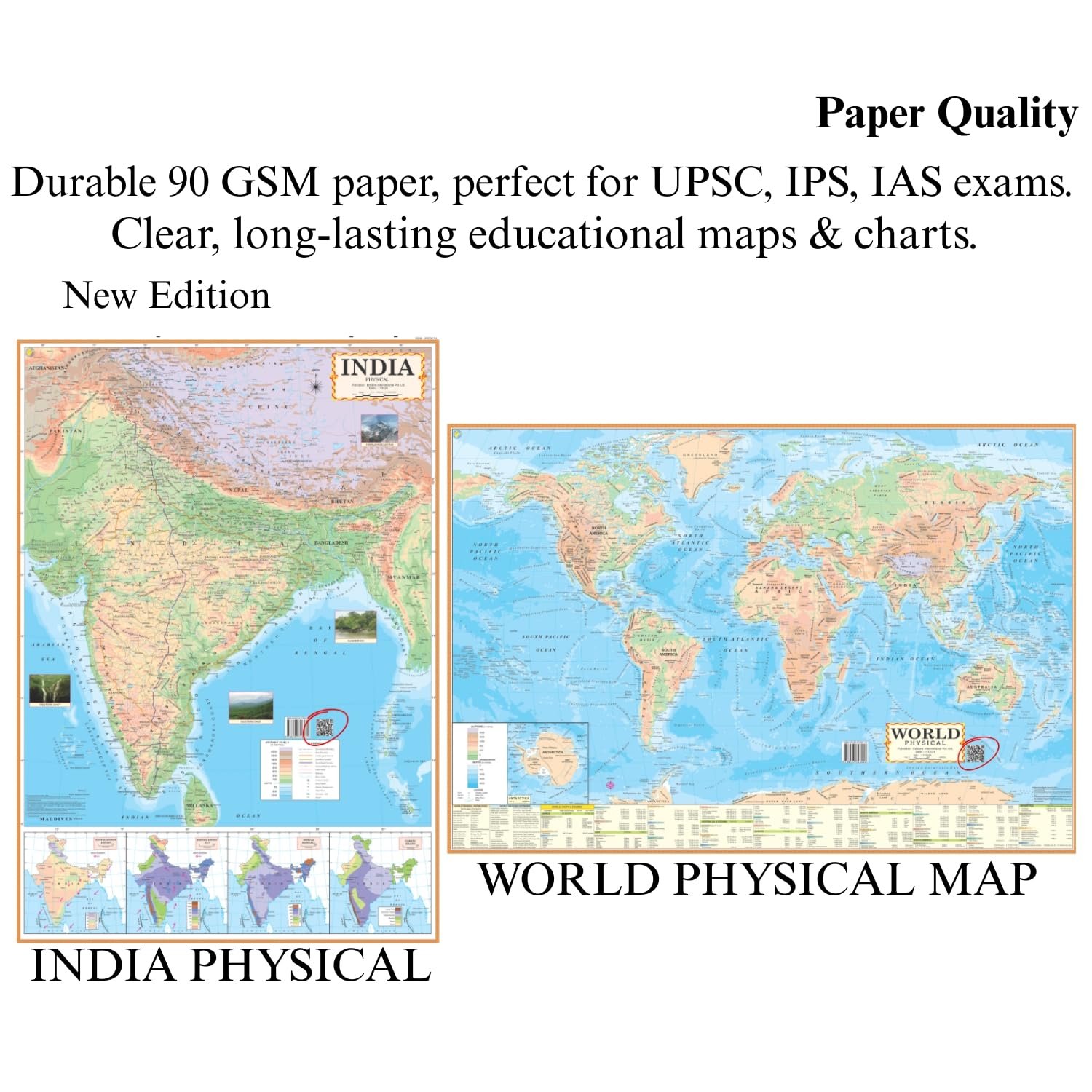
Details: Enhance your learning experience with this pack of 4 vibrant maps printed on high-quality 90 GSM paper. Each map is bright, colorful, and easy to read, making them perfect for students, teachers, and competitive exam aspirants. The set includes India Political, India Physical, World Political, and World Physical maps, all in English, designed to provide a clear, accurate, and detailed view of geographical features and political boundaries.
Features:
Vibrant Print: High-quality, colorful maps that make studying engaging and visually appealing.
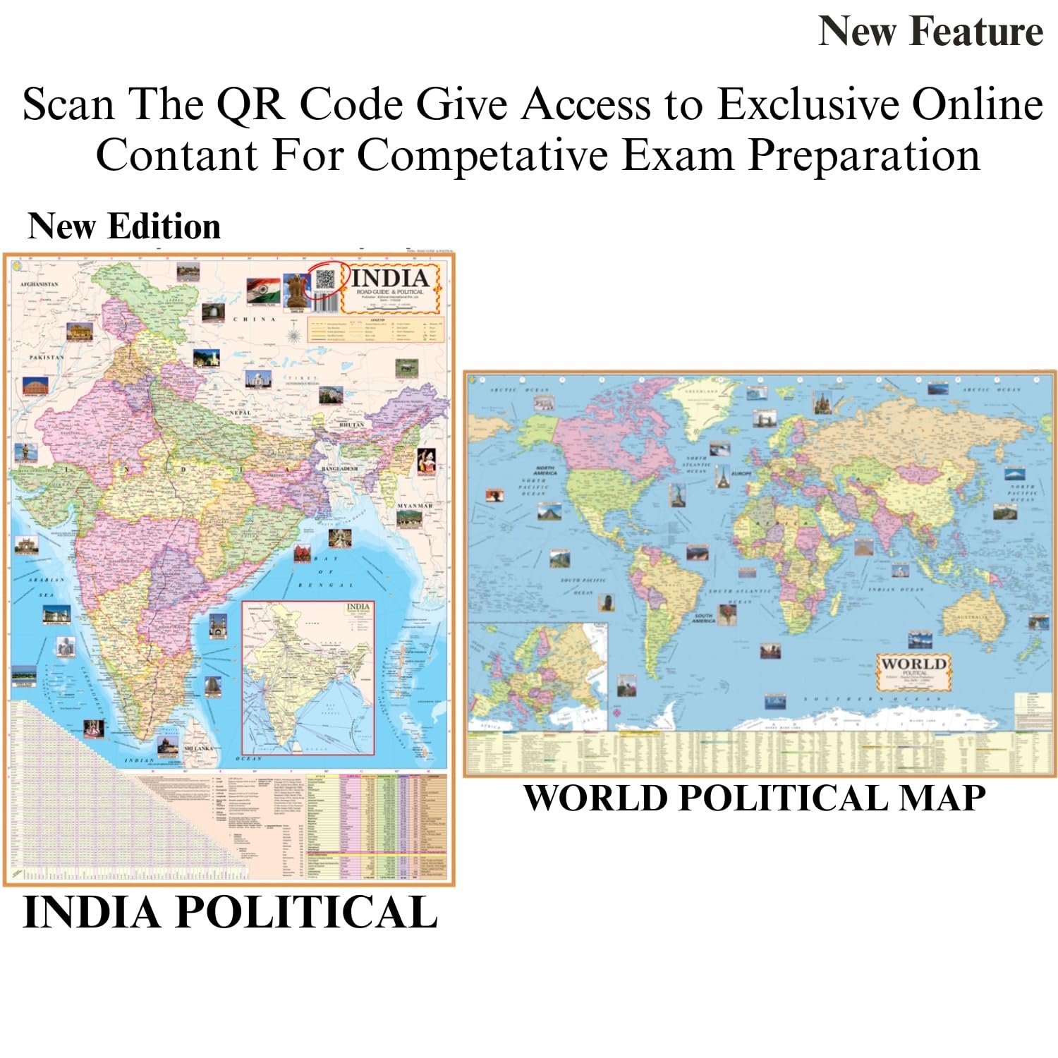
Digital Learning Enabled: Each map includes a QR code for instant access to digital resources and interactive learning.
Educational Value: Ideal for UPSC, IAS, IPS, SSC, Delhi Police, and other competitive exams preparation.
Versatile Usage: Perfect for classrooms, libraries, colleges, and home study setups.
Easy Reference: Clear, accurate, and detailed maps for quick reference and better understanding of geographical concepts.
Learning Support: Supports self-study and teaching; a must-have educational chart for aspirants and students.
These maps and posters are not just decorative—they are a powerful learning tool for geography enthusiasts, educators, and exam aspirants alike. Make your study space informative and interactive with this educational wall map set. Perfect for students, teachers, UPSC, IAS, IPS, SSC, and competitive exam preparation.