₹150.00 ₹918.00
Availability:
In StockAuthor: Bookford
Brand: BOOKFORD
Edition: Kids Edition
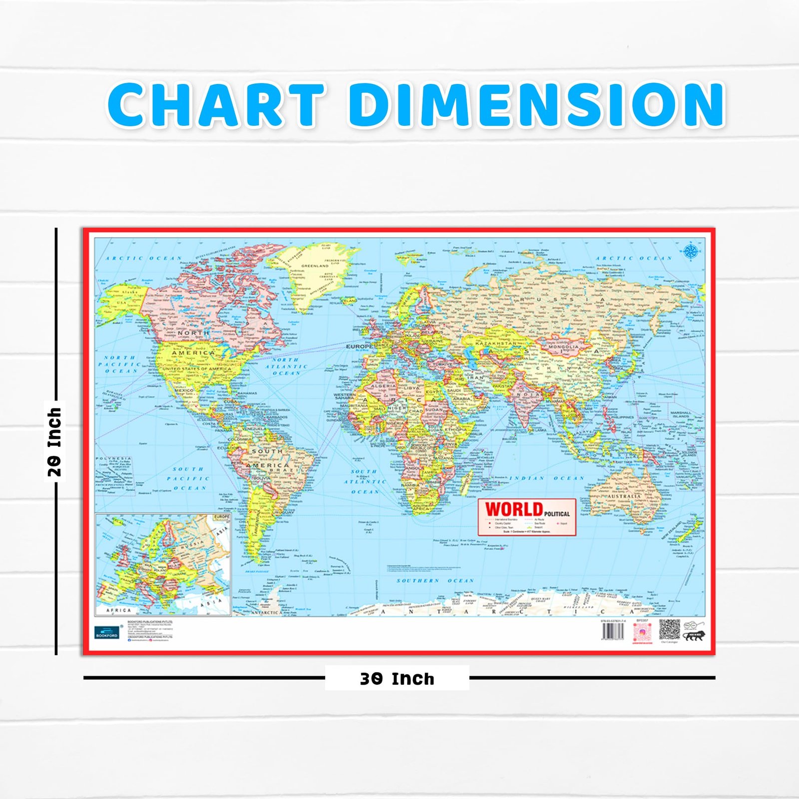
Package Dimensions: 54x562x270
Number Of Pages: 1
Release Date: 31-05-2026
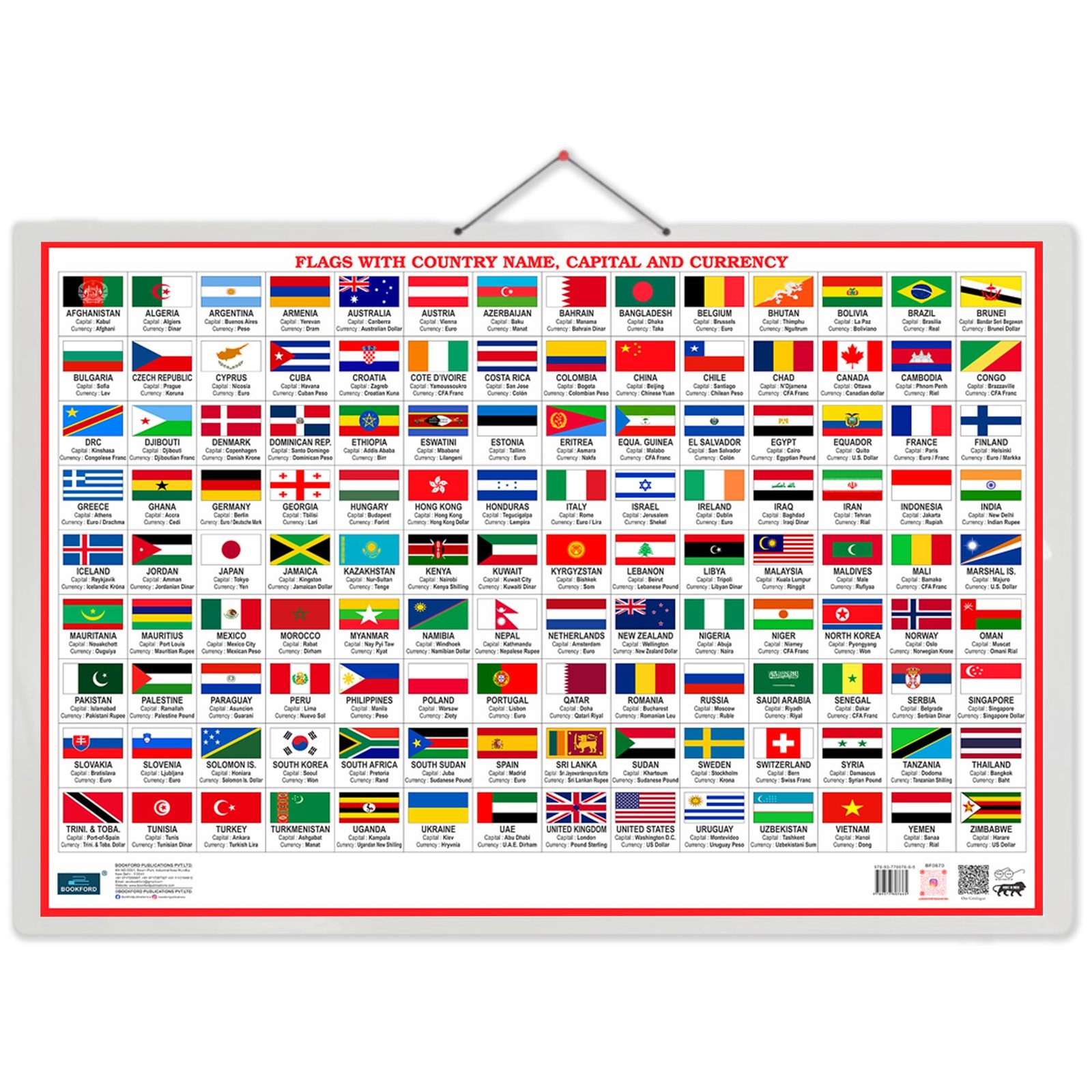
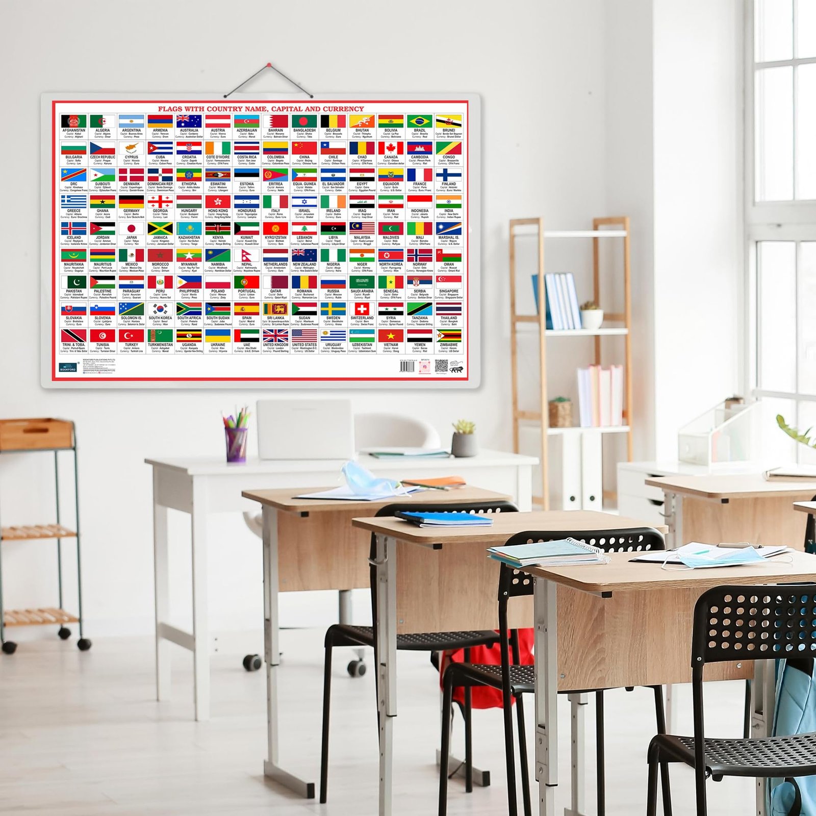
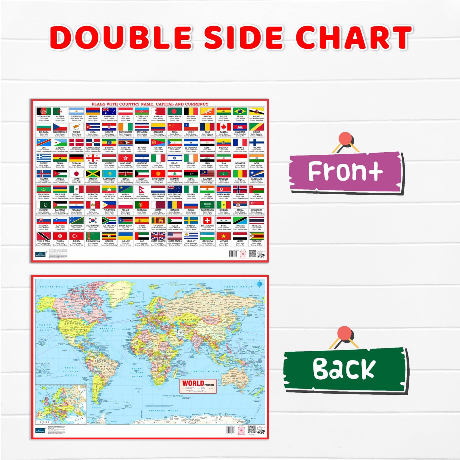
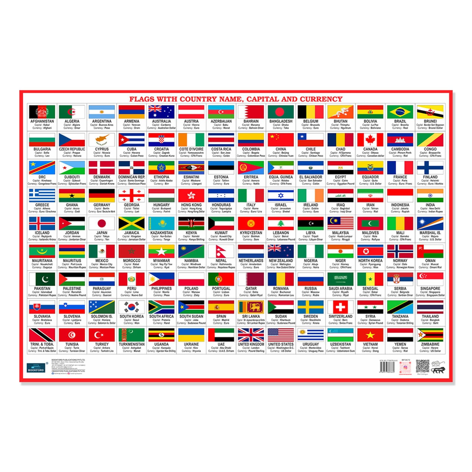
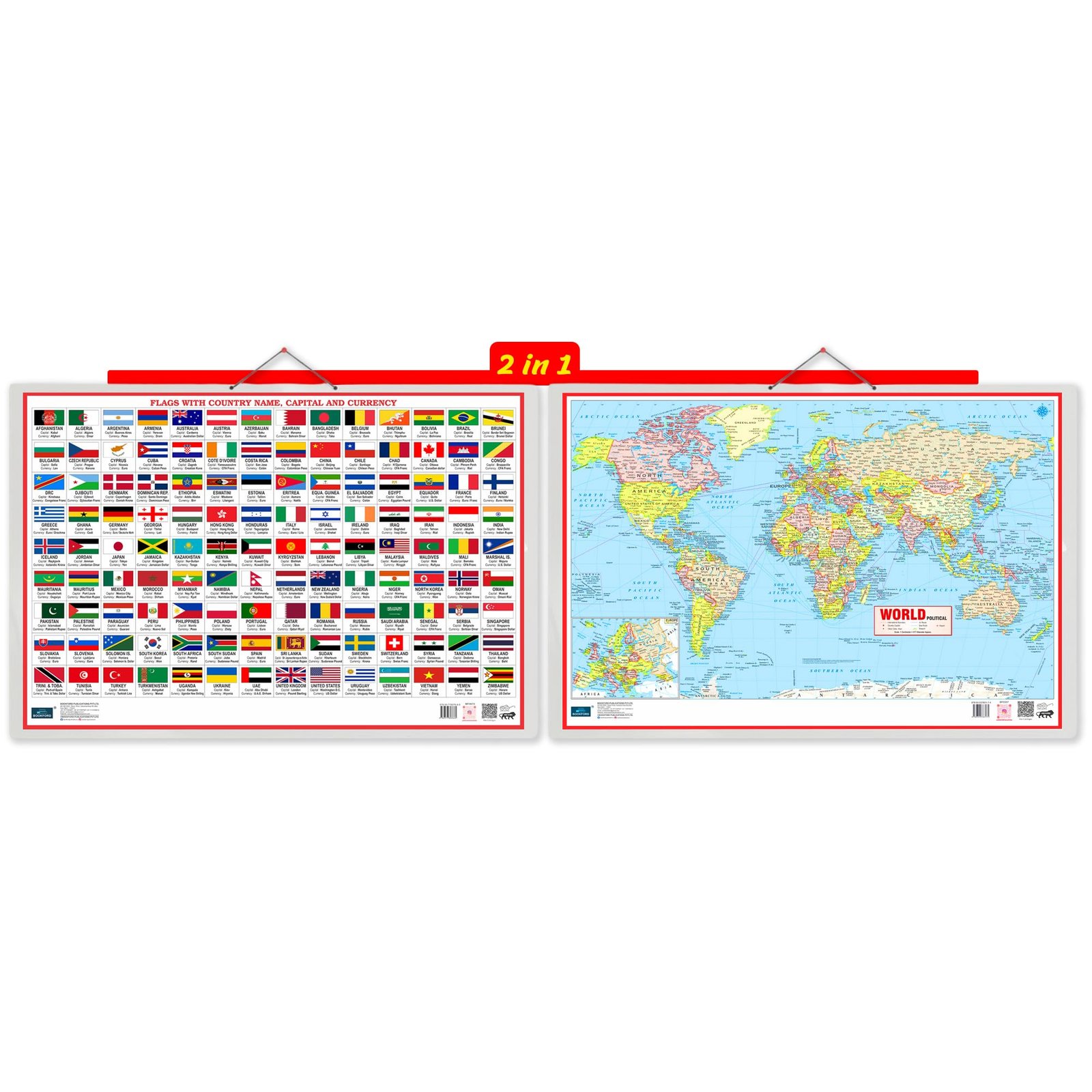
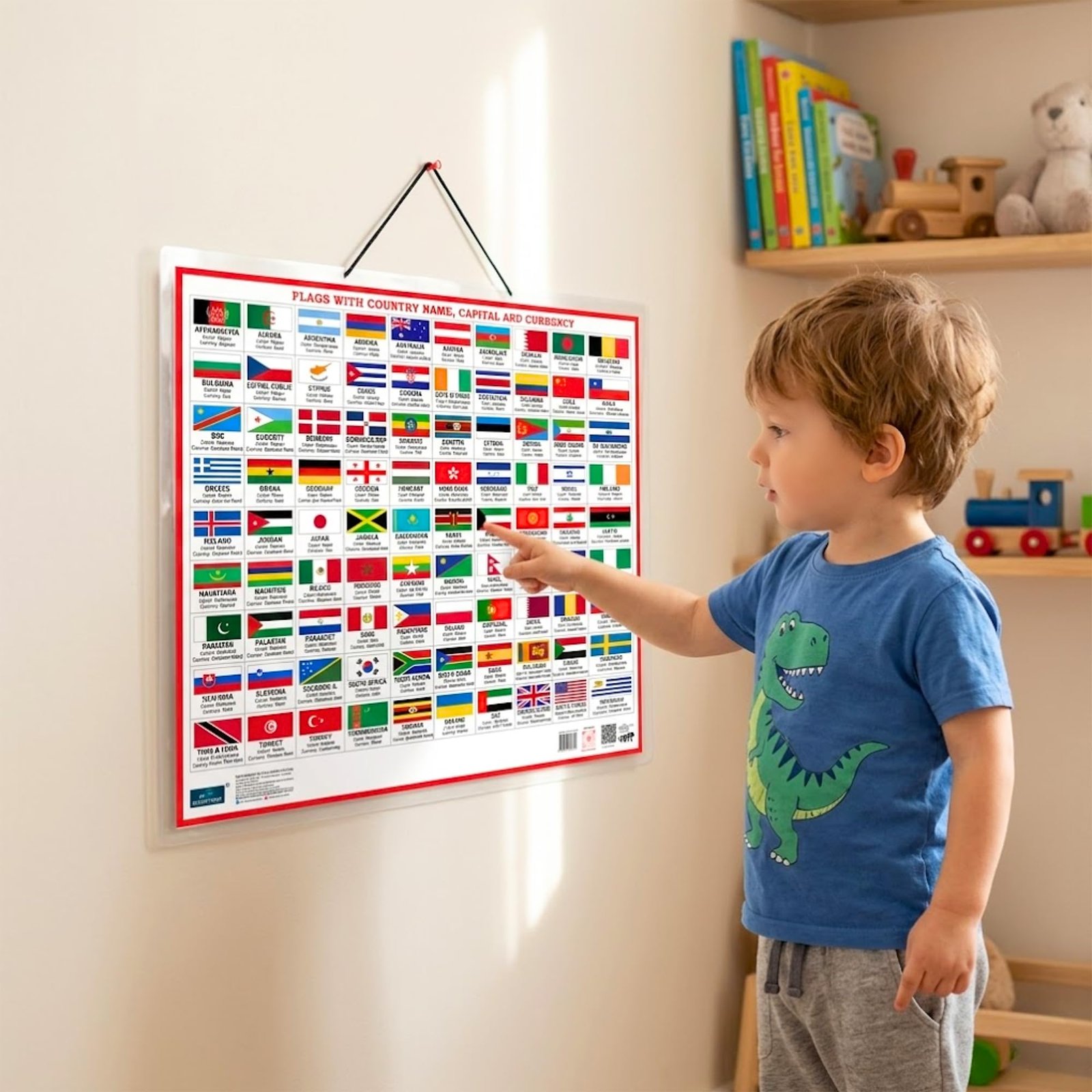
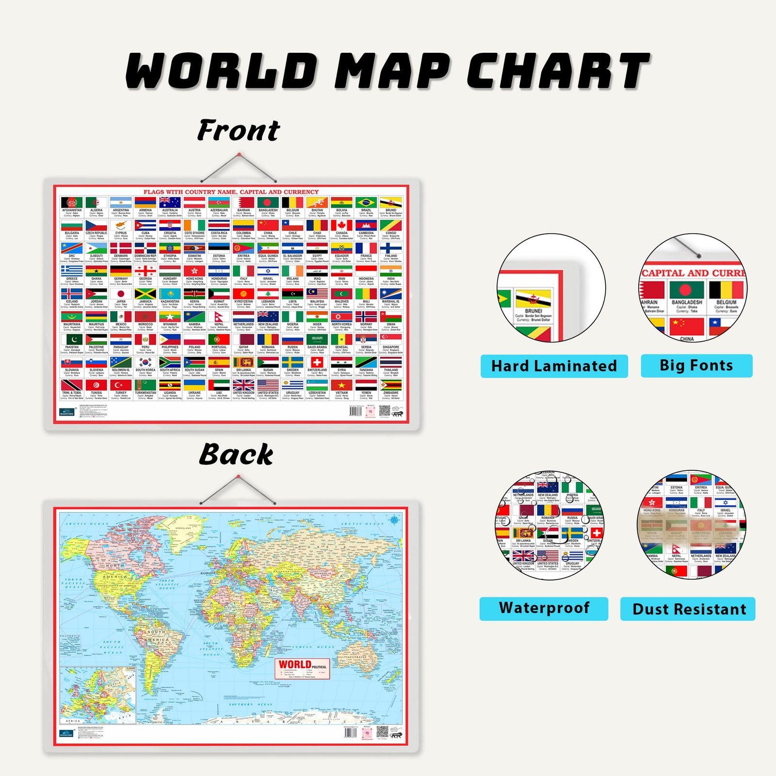
Details: Make world learning easy and fun with this Flags With Country Name, Capital and Currency Chart. This educational chart helps children learn about different countries, their national flags, capital cities, and currencies in a simple visual way. Kids can easily see the flag, read the country name, learn the capital, and understand the currency used in that country. This chart is very useful for school students, preschool kids, general knowledge learning, geography practice, quiz preparation, classroom teaching, and home study. The colorful design makes learning more interesting and helps children remember world facts faster. Parents and teachers can use it as a daily learning poster for kids to improve memory, recognition, and basic world awareness.It is a helpful educational wall chart for homes, schools, classrooms, libraries, tuition centers, and homeschooling. A perfect learning aid for kids who want to learn world flags, countries, capitals, currencies, and general knowledge in an easy and engaging way.